Real-world GIS experience for students

Professional-grade products for our clients

Our Services

Let us know what we can do for you.

ArcGIS Online

From StoryMaps to more sophisticated interactive maps, we can help you tell your story

Print cartography

Old-school but still needed. From reports to posters to signage, we can help design maps for all audiences

PXL_20231108_181755415

GPS & drone mapping

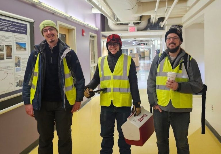
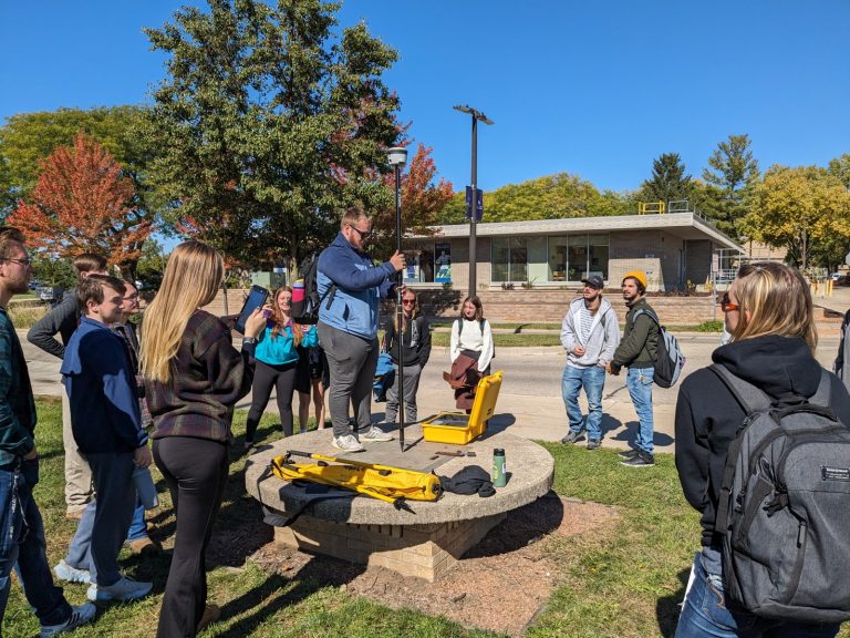
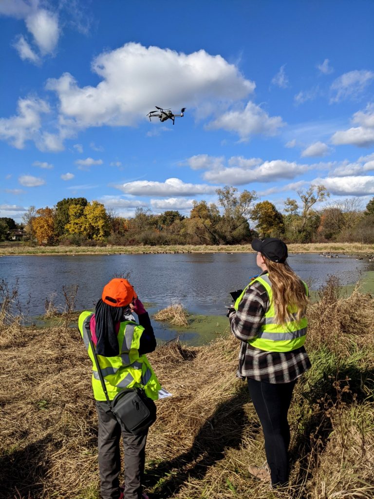
Both with our drone fleet and our 1-inch GPS equipment, we can map your resources to the accuracy you need

Spatial analysis

Integrating data with advanced analytical tools, we can help you answer your "spatial" questions

Recent projects

We work with state agencies, nonprofits, and other clients to provide cost-effective GIS services and real-world experiences for UW-Whitewater students

WEDC

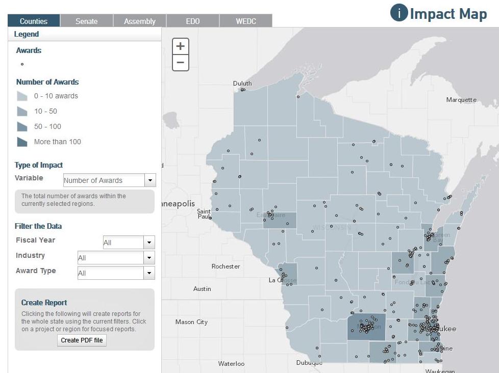
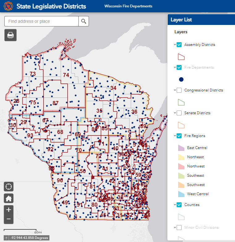
Creating StoryMaps and interactive maps for a variety of Wisconsin Economic Development Corporation's web pages

Mountain bike trail mapping

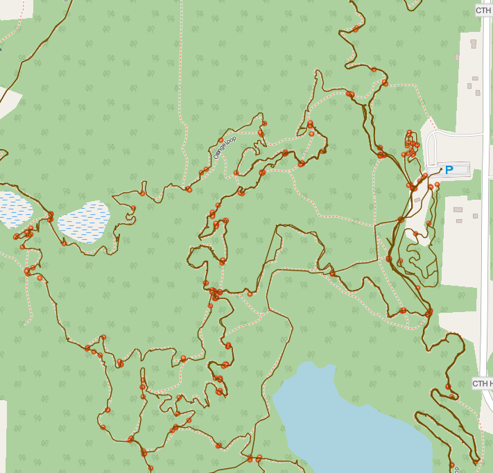
Working with the Southern Kettles Off Road Riders (skorr.org), we're working on a new, detailed interactive map of the trail system

Downscaled climate Data

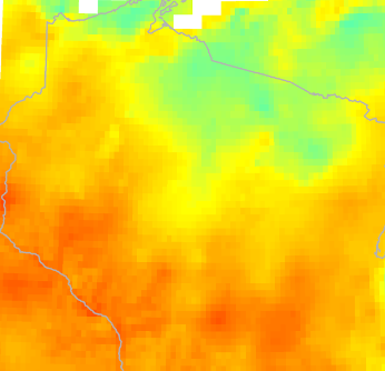
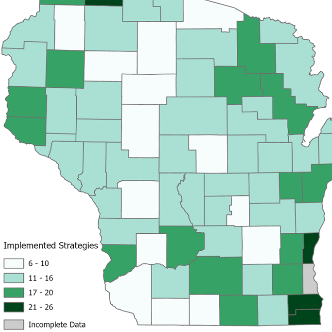
As part of the state-wide WICCI project, we've created GIS "friendly" versions of the downscaled climate modeling data for Wisconsin

Drone wetland mapping

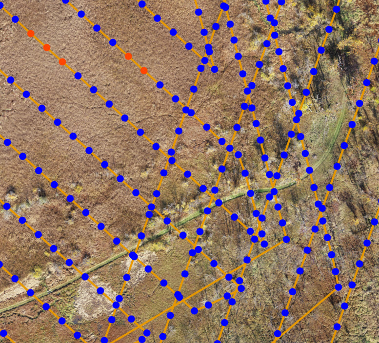
We created a high-resolution image of a wetland area in Badgerland Bird Alliance's Fair Meadows property

Contact us

Director: Dr. Eric Compas

Email: compase@uww.edu

Phone: 262-472-5126


What we've been up to

About us

Established in 2010, the GIS Center at UW-Whitewater was created to provide real-world GIS internships and projects for our students and to provide GIS products for our clients. 

Over the years, more than 50 students have worked in the Center for 20+ clients. Here’s where some of them are now.

Lorem ipsum dolor sit amet, consectetur adipiscing elit. Ut elit tellus, luctus nec ullamcorper mattis, pulvinar dapibus leo.